Wondering why one part of Upper St. Clair feels close to everything while another feels tucked away and park-centered? If you are choosing where to live here, the answer is usually less about formal neighborhood names and more about your daily routine. In this guide, you’ll see how Upper St. Clair’s housing patterns, road corridors, parks, and civic hubs shape everyday life so you can focus on the pocket that fits you best. Let’s dive in.
Upper St. Clair feels pocket-based
Upper St. Clair covers about 10 square miles and sits roughly 10 miles southwest of Pittsburgh. The township is described by county planning as hilly and wooded, which helps explain why daily living can feel different from one area to the next.
Instead of sharply divided neighborhoods, Upper St. Clair works more like a collection of pockets shaped by major roads, parks, and activity centers. Where your home sits relative to Route 19, McLaughlin Run Road, Boyce Road, and South Hills Village often has a bigger impact on your routine than the name of a subdivision.
Housing varies by location
Most of Upper St. Clair is still dominated by single-family residential zoning. The township’s recent planning documents also note that the community is mostly built out, which means future change is expected to come more from infill and redevelopment than from large new subdivisions.
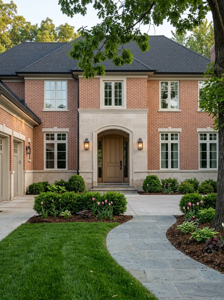
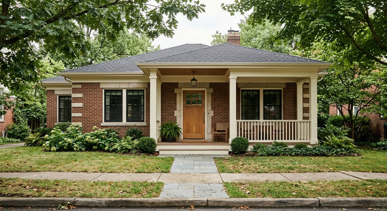
That matters if you are comparing one area to another. In many interior sections, the housing pattern is more traditional, with detached homes shaping the streetscape and daily feel. In a few specific pockets, you will find a different mix that includes attached homes or apartments.
Where housing feels more varied
Some of the clearest higher-density residential pockets are along Boyce Road near Friendship Village of the South Hills, along Lesnett Road near McLaughlin Run Road, and along Painters Run Road near the St. Clair Woods Apartments area. These areas stand apart from the township’s more common detached-home pattern.
If you want a broader mix of housing types, these pockets may deserve a closer look. If you prefer a more classic suburban block pattern, interior R-1 streets will often align better with that goal.
Parks shape daily routines
One of the biggest lifestyle differences in Upper St. Clair comes from park access. The township manages more than 700 acres of neighborhood parks and facilities, including 14 parks, sports courts and fields, a three-hole golf course, and trails.
For many buyers, this is not a small detail. Living near a major park or recreation center can change how often you get outside, how easily you reach programs and activities, and whether your weekends feel more active or more home-centered.
Boyce Mayview area
Boyce Mayview Park is the township’s largest regional park at 475 acres. This area includes trails, sports fields, playgrounds, pavilions, Boyce Gardens, and the 90,000-square-foot Community and Recreation Center.
If you picture a routine with frequent trail walks, recreation programs, or easy access to sports and community facilities, the Boyce Road area stands out. This pocket tends to be one of the most recreation-oriented parts of the township.
Municipal Park area
The Municipal Park and McLaughlin Run Road area is another major activity hub. This 29-acre civic and recreation area includes the municipal building, library, sports fields, courts, playgrounds, shelters, batting cages, and the McLaughlin Activity Center.
For some buyers, being near this area means easier access to public-facing amenities and community activities. It is one of the clearest examples of a civic-and-community-oriented pocket in Upper St. Clair.
Gilfillan Park area
In the northeast portion of the township, Gilfillan Park offers a different kind of setting. The 59-acre park includes a 1.25-mile nature trail and has a more passive parkland feel.
If your ideal routine includes quieter outdoor space rather than a large recreation complex, this area may appeal to you. It creates a different daily rhythm from the more active Boyce Mayview and municipal center areas.
Convenience follows the corridors
Upper St. Clair’s transportation network revolves around Route 19 and key east-west roads like Painters Run Road, McLaughlin Run Road, and Boyce Road. Interstate 79 is also just west of the township, which adds another layer to commuting patterns.
Because of that layout, convenience is strongly tied to corridor location. Homes closer to major roads and commercial nodes often make errands and regional travel easier, while homes deeper inside residential sections can feel more removed from everyday retail activity.
Washington Road and Route 19
Washington Road is one of the township’s main convenience corridors. Near McMurray Road, North Highland Road, and Fort Couch Road, several highway-commercial pockets include stores, restaurants, and small plazas.
If you want quick stops built into your routine, this corridor can be practical. The tradeoff is that you are living closer to one of the township’s busiest activity areas.
South Hills Village and Siena
The South Hills Village area is the township’s biggest retail cluster. It includes major shopping destinations, restaurants, banks, and nearby services, and it is also tied to the public rapid transit zone.
For transit users, the South Hills Village Park and Ride appears on Pittsburgh Regional Transit schedules for both the Blue Line and Red Line. If you want easier access to rail service into downtown Pittsburgh, this area offers a meaningful advantage.
Lesnett and McLaughlin Run nodes
Neighborhood-scale commercial pockets also appear around Mayview Road and Lesnett Road, and near McLaughlin Run Road around McMillan and Lesnett. These smaller nodes can support day-to-day convenience without the larger retail feel of South Hills Village.
For some buyers, that balance works well. You may be close to practical errands while still living within a more residential overall setting.
What daily life feels like by area
When buyers compare Upper St. Clair pockets, the most useful question is often not “Which neighborhood is best?” It is “Which daily tradeoff fits me best?”
Here is a simple way to think about it:
- Most convenience-oriented: Washington Road, South Hills Village, and Siena, where shopping, dining, and transit access are easiest.
- Most recreation-oriented: Boyce Mayview and Boyce Road, plus the municipal center area, where parks and township facilities play a bigger role in everyday life.
- Most civic-oriented: The McLaughlin Run, library, and municipal facilities area, where public amenities are concentrated.
- Most varied in housing feel: Boyce Road, Lesnett, McLaughlin Run, and Painters Run corridors, where higher-density pockets appear within the township fabric.
- Most traditionally residential: Interior R-1 streets and park-adjacent pockets away from the main shopping corridors.
None of these patterns is automatically better than another. They simply support different routines, priorities, and definitions of convenience.
Walking, biking, and access matter too
Another practical detail is how easily you can reach parks and facilities from home. Some neighborhood parks are close enough to access by walking or biking, while others are more car-dependent and rely on driving and parking.
The township also notes accessibility features at some parks and trails, including ADA parking, Braille signage, railings, benches, and accessible restrooms and playgrounds. If ease of access is part of your home search, these details can help narrow the right pocket for you.
What this means for buyers
If you are moving to Upper St. Clair, it helps to think in terms of lifestyle zones rather than assuming the whole township lives the same way. A home near South Hills Village may support faster errands and easier transit access, while a home near Boyce Mayview may put recreation at the center of your week.
A home on an interior street may feel more insulated from commercial activity, while a home near Lesnett, Painters Run, or Boyce Road may place you in a pocket with a more varied housing mix. The right fit depends on what you want your weekdays, weekends, and commute to look like.
Why local guidance helps
In a township like Upper St. Clair, the differences that matter most are often subtle. Two homes can share the same mailing address but offer a very different experience in errands, park access, housing surroundings, and commuting patterns.
That is where local perspective becomes valuable. If you want help comparing Upper St. Clair pockets based on how you actually live, Jen Schalk can help you narrow the options and move forward with clarity.
FAQs
How do Upper St. Clair neighborhoods differ in daily living?
- Upper St. Clair differs more by pocket than by sharply separated neighborhoods, with daily life shaped by proximity to Route 19, Boyce Road, McLaughlin Run Road, parks, civic facilities, and shopping areas.
Which part of Upper St. Clair is best for shopping and errands?
- The Washington Road, South Hills Village, and Siena areas are the most convenience-oriented because they are closest to the township’s largest retail and commercial clusters.
Which Upper St. Clair area is best for parks and recreation?
- The Boyce Road and Boyce Mayview Park area stands out for recreation because it includes the Community and Recreation Center, trails, sports fields, playgrounds, and other facilities.
Are there different housing types in Upper St. Clair?
- Yes, although most of the township is primarily single-family residential, higher-density housing pockets appear along Boyce Road, Lesnett Road near McLaughlin Run Road, and Painters Run Road.
Is there public transit access in Upper St. Clair?
- Yes, the South Hills Village Park and Ride offers rail access on Pittsburgh Regional Transit’s Blue Line and Red Line for commuters heading toward downtown Pittsburgh.
Are all parts of Upper St. Clair similar in feel?
- No, some areas are more retail- and transit-oriented, some are more park- and civic-oriented, and many interior residential streets feel more traditionally detached-home and insulated from daily commercial activity.